You may need export a GIS layer to a Shapefile for organizational information sharing, response to a public request, or to satisfy legacy system requirements.
Export Layer to A Shapefile
To export a GIS map layer to as Shapefile, watch this training video or follow the steps below:
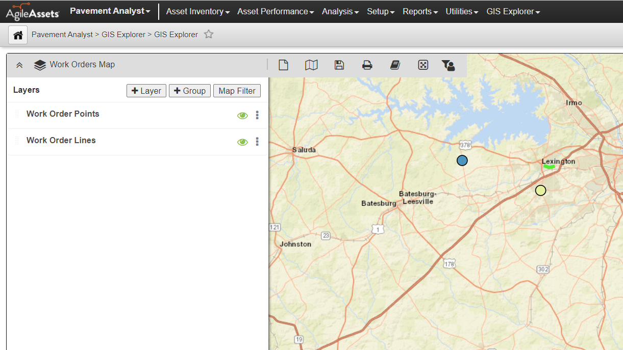
- Navigate to GIS Explorer
- Open a map or a layer you would like to export
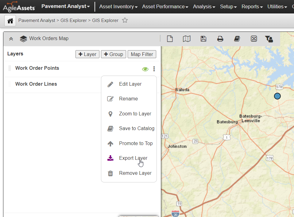
- Expand the list of layers by clicking on the map title bar to expand the list of layers.
- Click on the three vertical dots to the right of the layer name to expand the menu
- Click Export Layer
- In the Export Layer pop-up, select whether you would like to use the current coordinate system or reproject to another system
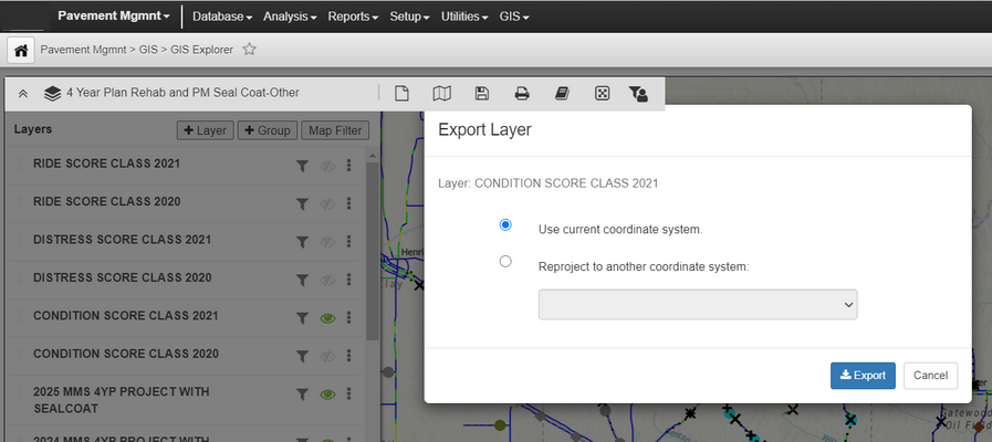
- Click Export
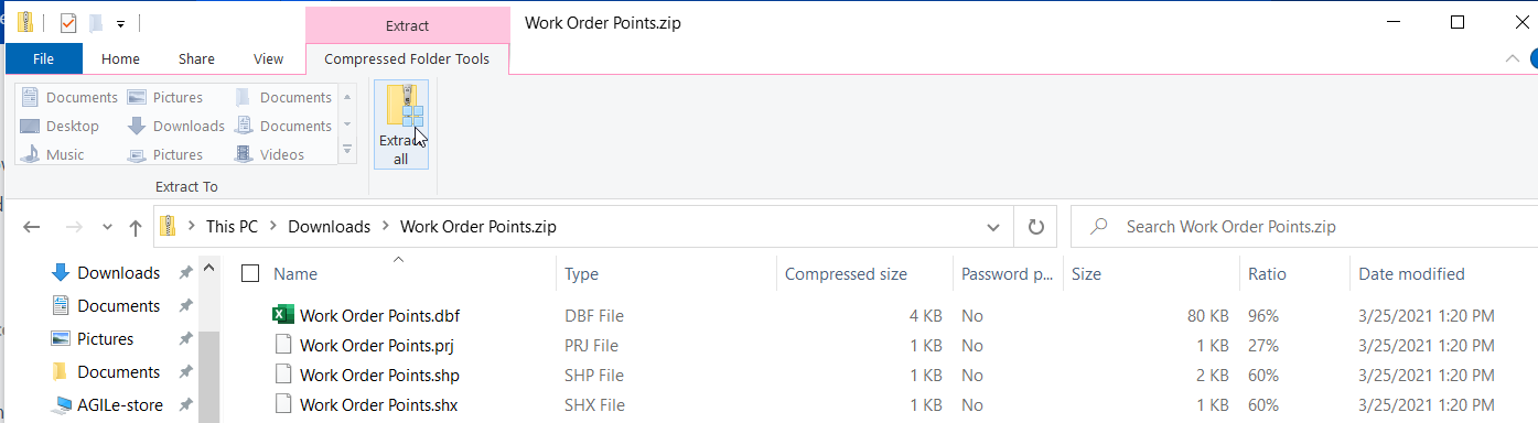
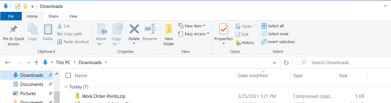
- A zip file with the same name as the layer will be saved in your web browser's download folder
- Extract the files from the zipped file to your desired location to get the suite of Shapefiles